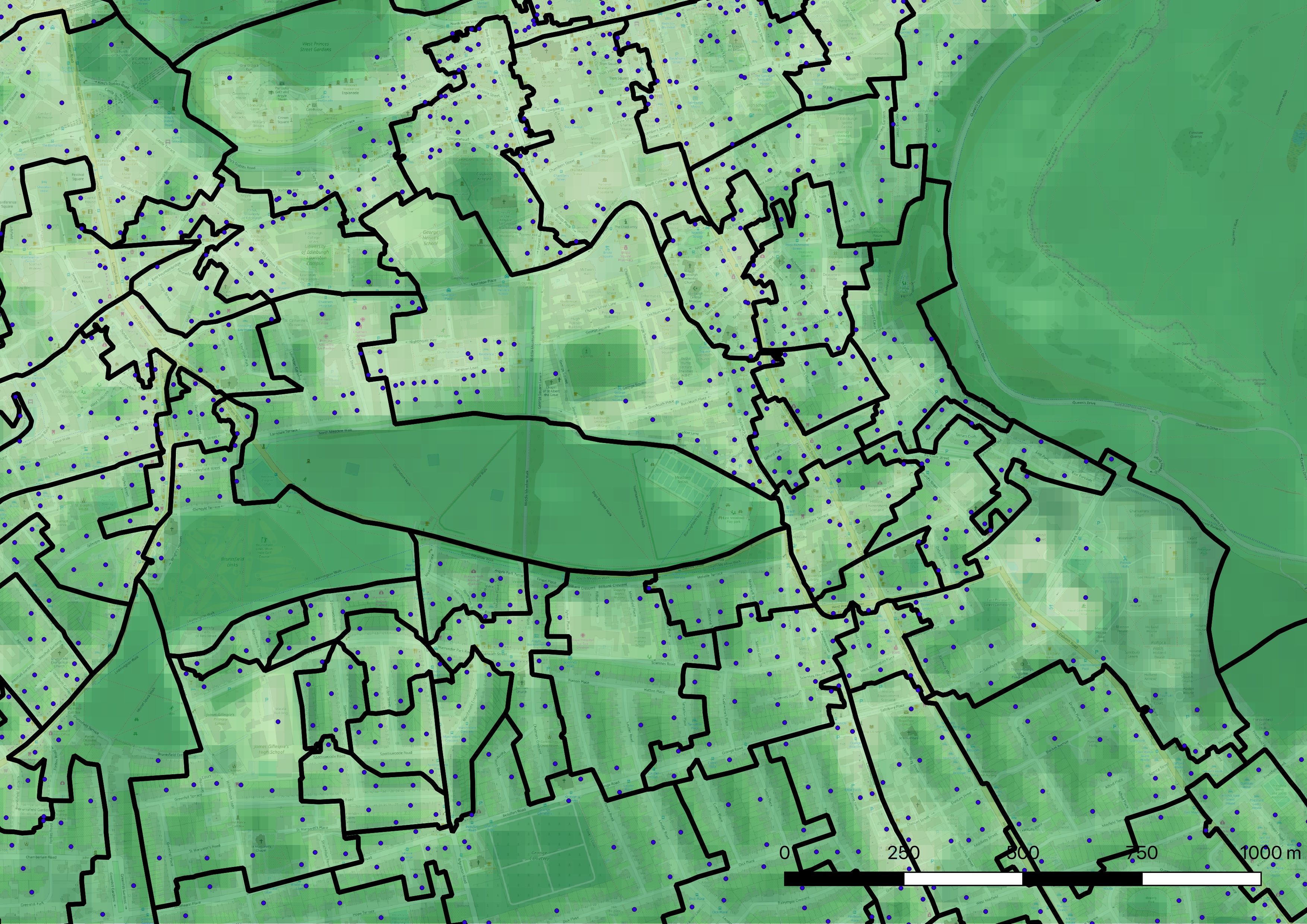
An area of south central Edinburgh illustrating distribution of sample points within Data Zones. Background is OpenStreetMap. Black outlines are DataZone boundaries. Blue dots are small user postcode locations that are used for sampling. Green shading represents summer-greenness (NDVI).