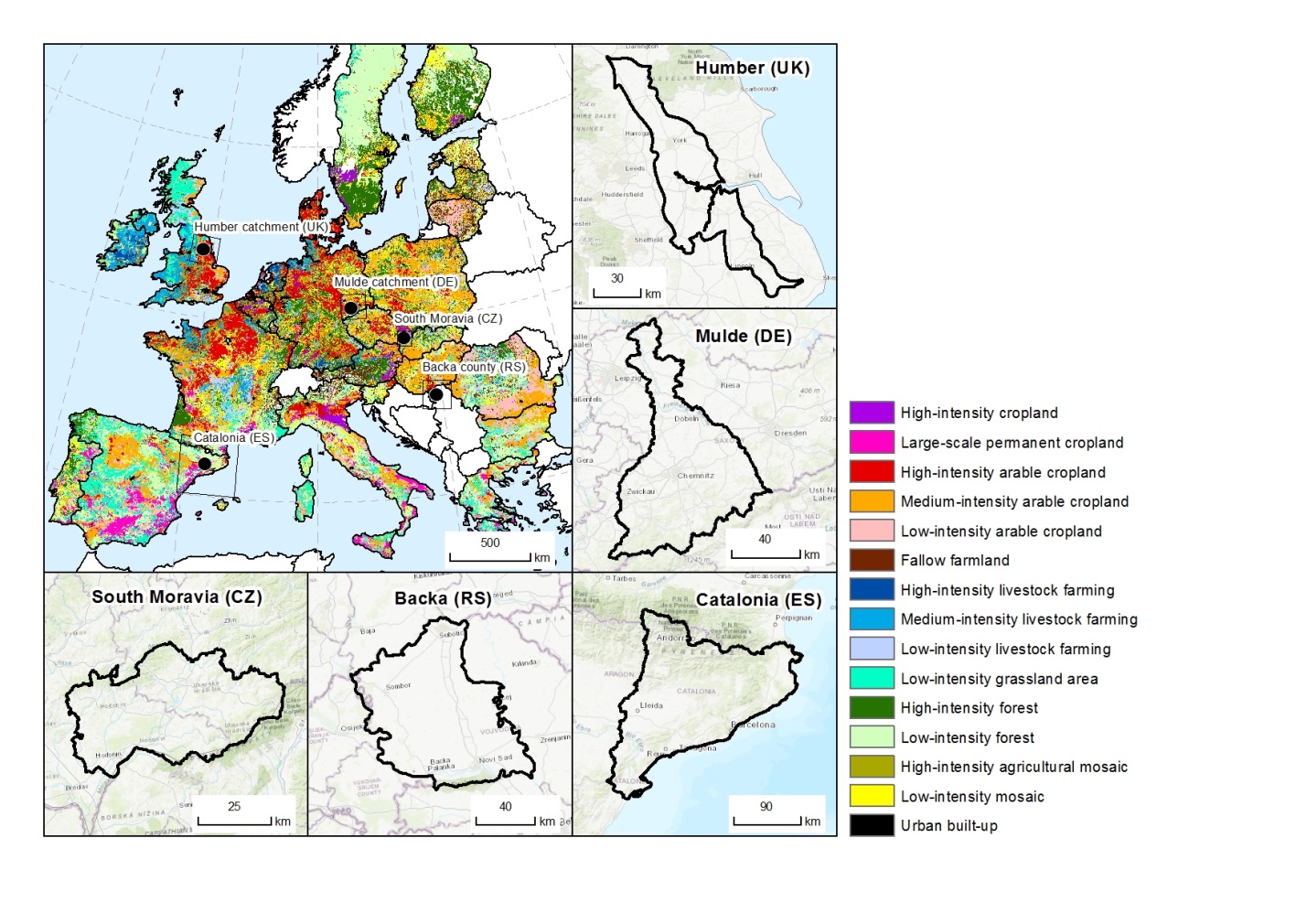
BESTMAP demonstration case studies: overview of CS locations in the context of Land Systems Archetypes mapped by
|
|
||
|
BESTMAP demonstration case studies: overview of CS locations in the context of Land Systems Archetypes mapped by |
||
| Part of: Ziv G, Beckmann M, Bullock J, Cord A, Delzeit R, Domingo C, Dreßler G, Hagemann N, Masó J, Müller B, Neteler M, Sapundzhieva A, Stoev P, Stenning J, Trajković M, Václavík T (2020) BESTMAP: behavioural, Ecological and Socio-economic Tools for Modelling Agricultural Policy. Research Ideas and Outcomes 6: e52052. https://doi.org/10.3897/rio.6.e52052 |