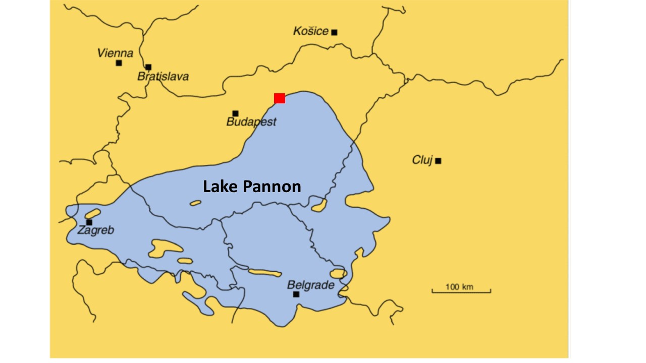
A map showing the extent of Lake Pannon during the late Miocene and the location of the Bükkábrány forest which is highlighted by a red square. Modified from
|
|
||
|
A map showing the extent of Lake Pannon during the late Miocene and the location of the Bükkábrány forest which is highlighted by a red square. Modified from |
||
| Part of: Tilley L, Berning B, Erdei B, Fassoulas C, Kroh A, Kvaček J, Mergen P, Michellier C, Miller C, Rasser M, Schmitt R, Kovar-Eder J (2019) Hazards and disasters in the geological and geomorphological record: a key to understanding past and future hazards and disasters. Research Ideas and Outcomes 5: e34087. https://doi.org/10.3897/rio.5.e34087 |