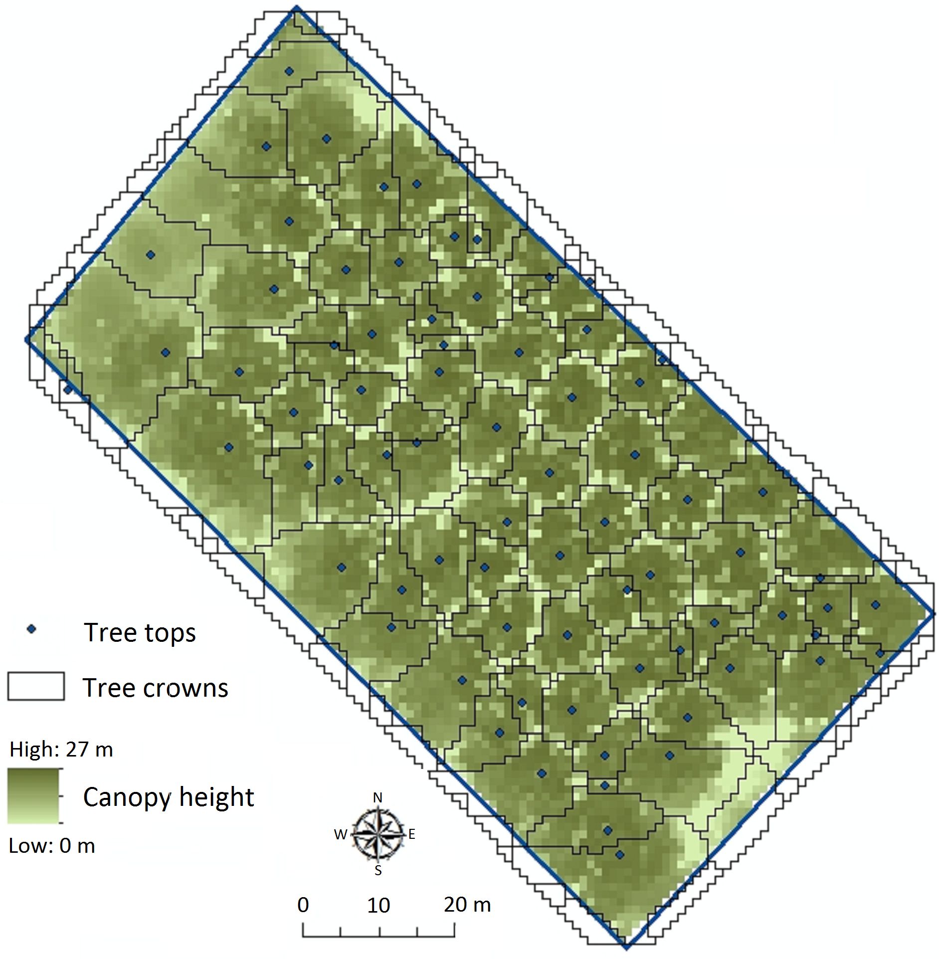
Example of identifying trees in a forest from LiDAR data. Illustrated is a small plot of poplar trees in Flevoland, The Netherlands, for which tree crowns and tree tops have been calculated.
|
|
||
|
Example of identifying trees in a forest from LiDAR data. Illustrated is a small plot of poplar trees in Flevoland, The Netherlands, for which tree crowns and tree tops have been calculated. |
||
| Part of: Kissling WD, Seijmonsbergen AC, Foppen RPB, Bouten W (2017) eEcoLiDAR, eScience infrastructure for ecological applications of LiDAR point clouds: reconstructing the 3D ecosystem structure for animals at regional to continental scales. Research Ideas and Outcomes 3: e14939. https://doi.org/10.3897/rio.3.e14939 |