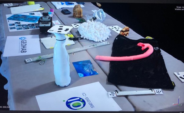
3D model of a scene rebuilt by the participant during the hands-on session of I. Urbina-Barreto, S. Delsol and C. Delamare (n = 54 images). Hands-on was divided in image acquisition (coordinator: Delamare C.), processing with Agisoft Metashape and Open Drone Map and computation of ecological analyses (Urbina-Barreto I.) and examples of point cloud comparison (Delsol S.).